C
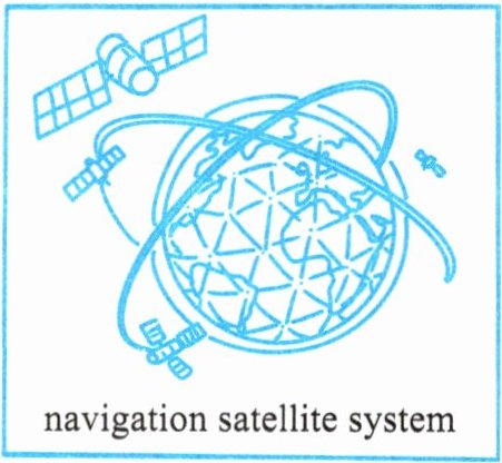
Thirty years ago, China started to build its own navigation satellite system (卫星导航系统), Beidou. It took its name from the Big Dipper stars, which are the guiding light for people around the world.
In 1994, China began making the Beidou Navigation Satellite System (BDS) so it wouldn't have to use navigation systems from other countries. It's a lot safer this way. In 2020, after over 20 years of hard work, Beidou completed its global network. This great success placed China among the group of countries and regions that have their own global navigation network. The US, Russia and the European Union are the other three.
Beidou does not just show where you are. It's also the first to let you send texts where there's no phone signal (信号) or internet. For example, you can use it to send messages to others in a deep mountain. The Beidou system has played an important role in disaster prevention and response (防灾救灾). The BDS even helps farmers in China by providing clear information for planting and monitoring, making farming smarter.
The BDS is more than a system. It shows China's power in science and technology. Now, over 120 countries and regions are using it. Wherever you are, Beidou's there to help you find your way.
(
A. Because it is more useful than the Big Dipper stars.
B. Because it's not safe to use systems from other countries.
C. Because many other countries already had navigation systems.
D. Because China wanted to become stronger in science and technology.
(
A. The name of Beidou.
B. The history of Beidou.
C. The success of Beidou.
D. The different uses of Beidou.
(
A. It can help people find their way.
B. It is helpful before and during disasters.
C. It gives farmers useful information to plant.
D. It lets people send texts without phone signal.
(
A. To encourage people to use Beidou.
B. To explain the steps to build Beidou.
C. To introduce what Beidou is and how it is used.
D. To compare different navigation satellite systems.
Thirty years ago, China started to build its own navigation satellite system (卫星导航系统), Beidou. It took its name from the Big Dipper stars, which are the guiding light for people around the world.
In 1994, China began making the Beidou Navigation Satellite System (BDS) so it wouldn't have to use navigation systems from other countries. It's a lot safer this way. In 2020, after over 20 years of hard work, Beidou completed its global network. This great success placed China among the group of countries and regions that have their own global navigation network. The US, Russia and the European Union are the other three.
Beidou does not just show where you are. It's also the first to let you send texts where there's no phone signal (信号) or internet. For example, you can use it to send messages to others in a deep mountain. The Beidou system has played an important role in disaster prevention and response (防灾救灾). The BDS even helps farmers in China by providing clear information for planting and monitoring, making farming smarter.
The BDS is more than a system. It shows China's power in science and technology. Now, over 120 countries and regions are using it. Wherever you are, Beidou's there to help you find your way.
(
B
)23. Why did China begin making the Beidou system?A. Because it is more useful than the Big Dipper stars.
B. Because it's not safe to use systems from other countries.
C. Because many other countries already had navigation systems.
D. Because China wanted to become stronger in science and technology.
(
B
)24. What is Paragraph 2 mainly about?A. The name of Beidou.
B. The history of Beidou.
C. The success of Beidou.
D. The different uses of Beidou.
(
D
)25. Which of the following is a world-first use of the Beidou system?A. It can help people find their way.
B. It is helpful before and during disasters.
C. It gives farmers useful information to plant.
D. It lets people send texts without phone signal.
(
C
)26. What is the main purpose of the text?A. To encourage people to use Beidou.
B. To explain the steps to build Beidou.
C. To introduce what Beidou is and how it is used.
D. To compare different navigation satellite systems.
答案:
23. B 24. B 25. D 26. C
查看更多完整答案,请扫码查看